cct-tracking
Iowa and Eastern Nebraska Frozen in Ice Storms as California Sees Tornado Confirmation

A fierce ice storm wreaked havoc across Iowa and eastern Nebraska this weekend, forcing numerous event cancellations and prompting businesses to delay openings. As officials urged residents to remain indoors, road conditions worsened significantly, especially on Interstate 80, where multiple vehicles spun out due to icy surfaces.
Temperatures later rose, facilitating ice melt in several areas. “Luckily, some warmer air is moving in behind this to make it temporary,” noted Dave Cousins, a meteorologist from the National Weather Service’s Davenport office.
Tragically, the icy conditions led to at least one fatal accident in eastern Nebraska, where a 57-year-old woman lost control of her pickup near Arlington, colliding with an oncoming truck. The driver of the truck sustained minor injuries.
Meanwhile, in San Francisco, a storm characterized by wind gusts reaching 60 mph prompted the area’s first ever tornado warning. The alert, which affected approximately 1 million residents, was issued at 5:51 a.m. and revoked 20 minutes later. However, reports of a tornado touching down in Scotts Valley emerged later in the day, where damage was notable.
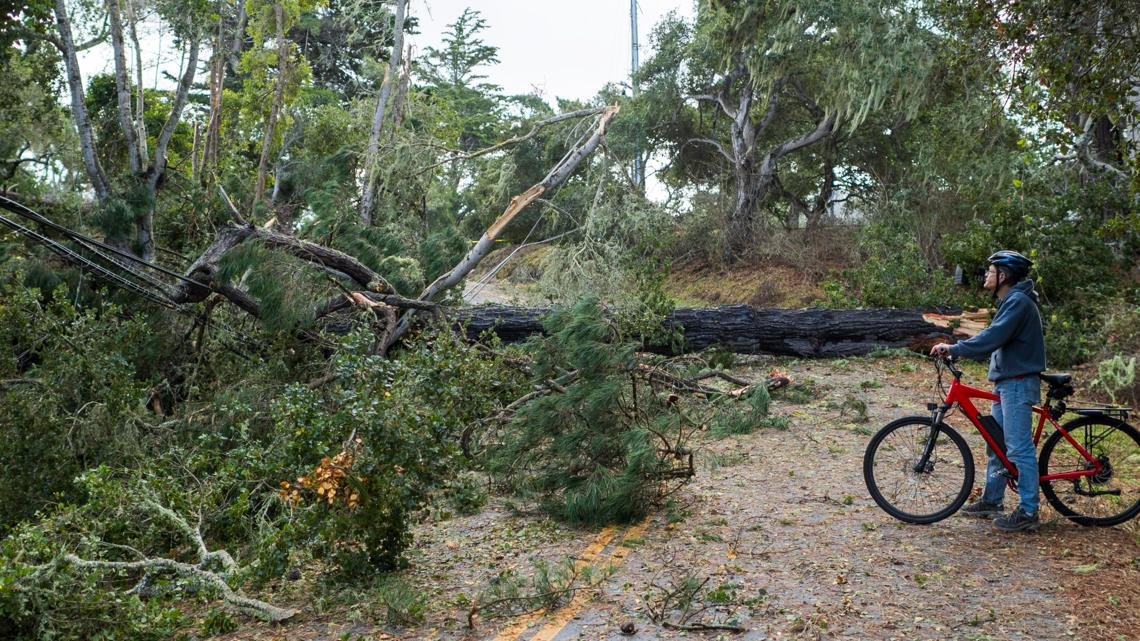
At around 1:40 PM, the National Weather Service confirmed a tornado’s occurrence based on various data, stating that an investigation into its classification will follow. Witnesses shared images showing overturned vehicles and downed trees, while several individuals required hospitalization, including a battalion chief from the California Department of Forestry and Fire Protection.
The tornado impacted the shopping district on Mt. Hermon Drive, prompting local authorities to request residents to stay clear of the area. San Francisco, having not experienced a tornado since 2005, found its infrastructure tested as trees toppled onto vehicles and roofs.
“This marks the first warning for a possible tornado in San Francisco,” explained Roger Gass, a meteorologist from the Weather Service’s Monterey office.
As the storm system moved northward, upstate New York was blanketed with over 33 inches of snow near Orchard Park. Residents in the region had already braced for intense lake-effect snow typical of this time of year. In Nevada, as much as three feet of snow was anticipated on Sierra Nevada peaks. A winter storm warning remained active through the evening, and a notable wind gust of 112 mph was recorded at Mammoth Mountain.
Interstate 80 faced closures along an 80-mile stretch from Applegate to the Reno boundary, although it reopened for passenger vehicles equipped with chains or snow tires. Heavy rainfalls accompanied the advisory in the affected regions.
The storm’s reach extended to western Washington, where thousands lost power amid sustained winds and rain, causing widespread outages.
This severe weather system underscores the unpredictable nature of winter storms across the United States, impacting travel, safety, and daily life for many residents.


