arizona
Brace for a Scorching 72-Hour Triple-Digit Heatwave!

PHOENIX — A Weather Impact Alert is now in effect for the Valley, anticipating three consecutive days of extreme heat with temperatures reaching the 100-degree mark. This phenomenon typically occurs by early May, making this year’s heat spell a couple of weeks ahead of schedule.
A robust high-pressure system is settling over the southwestern U.S., which will result in unrelenting sunshine and light winds through Friday. The uptick in temperature and volume of vehicles on the road is expected to contribute to poor air quality, prompting a high pollution advisory for Maricopa County primarily during the afternoons.
By the end of next weekend, conditions will begin to shift as the high-pressure ridge weakens and moves eastward. This transition will introduce breezy to windy conditions along with a slight reduction in temperature.
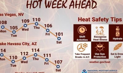
Looking ahead to the upcoming week, the forecast indicates the following high temperatures:
THURSDAY: 100/68 — The first triple-digit temperature of the year!
FRIDAY: 102/70 — A potential record, currently 99 (2023).
SATURDAY: 100/70 — Another historic mark, with the record set at 99 (1936).
SUNDAY: 96/72 — A cooler day with breezy conditions.
TUESDAY: 92/66 — Still above normal temperatures.
WEDNESDAY: 92/66 — Sunny and warm.
Arizona has frequently experienced severe weather, including thunderstorms, floods, and fires. A collection of videos documenting these events is accessible on the 12News YouTube channel.
Residents are encouraged to share their weather-related photos and videos. Submissions can be sent via the 12 News app, email at pictures@12news.com, or by using the hashtag #BeOn12 on social media.


